
THE MEANING OF
KARANGAHAPE
Karangahape Road is probably the most famous street in Aotearoa, New Zealand. But just what does the name mean?
What's in a name?
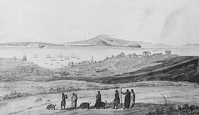
Looking north from the Karangahape ridge in the early 1840s
Māori place names can have different interpretations depending on the iwi being consulted. There are three places in the country called Waitangi for example - all having acquired their names for different reasons.
In Tāmaki Makaurau / Auckland this is especially complicated as the isthmus was fought over by several Māori tribes for almost 600 years. Certain places have more than one Māori name and some names have several different meanings.
Until the middle of the 20th century Karangahape road was the only street in central Auckland with a Māori name. This is because the path predates the European settlement.
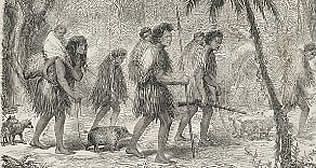
The Symonds Street and Karangahape Road ridges are part of the walking route used by Māori to reach the Manukau Harbour. The route continues along Great North Road to Point Chevalier then turns south to Avondale and then on to Cornwallis at the Manukau Heads. This track was known as: Te Ara o Karangahape - The Path of Karangahape.
Karangahape Road and Symonds Street are thus older than Queen Street or any other thoroughfare in central Auckland which were only laid out by the Government Surveyor Felton Mathew in 1840.
The Karangahape ridge was quite a dominant feature in the rather empty landscape in the 1840s, but it lay outside the area where the new town developed during the first decade or so.
Looking north from the Karangahape ridge in the early 1840s
This was probably the main reason Karangahape was the only Māori name in the central area to be kept by the new administration and incorporated into the new town of Auckland.
If the Symonds Street part of the Te Aro o Karangahape had a Māori name it is now lost, however the western portion beyond Ponsonby road was called Te Rae-o-Kawharu - the Forehead of Kawharu.
Kawharu was a famous warrior chief, who led the Ngati Whatua incursion of the Tamaki isthmus in 1680. He was the half brother of Te Wehi. According to some sources he was a giant, reputably 8 metres tall. The name commemorates the spot where the great chief Kawharu rested during the 1680 campaign, probably somewhere towards Surrey Crescent. As a man of rank, Kawharu would have worn a `heru' (comb) in his hair. The head is always considered sacred in Māori society and the ridge is thus symbolic of the top of the head.
Te Rae-o-Kawharu is considered to apply to that part of the Karangahape ridge which is now called Great North Road, from the Ponsonby Road intersection to Surrey Crescent.
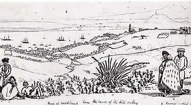
Watercolour by John Kinder, 1856, showing St Kevin's House on “Karangahapa" Road.
The multiple meanings of Karangahape
The Place of the Calling of Hape
Hape was great chief, revered to this day as one of the founders of the Tainui Iwi and he was probably one of their early Tohunga or Priests. Some of the stories suggest he was a seer or mystic with magical powers, possibly even a demi-god. Hape's name literally means 'club foot' although it can also mean 'rejected' or 'left behind'.
Following the discovery of Aotearoa plans were made in the ancestral homeland of Hawaiki to settle the new land, this probably happened around 1350 AD. When the the Tainui waka was about to set sail, only people in the best physical condition were selected. Due to his clubbed foot, Hape was not one of those selected and he was left behind in Hawaiki. The voyage of the waka to Aotearoa was long and arduous, most of those on board forgot about Hape.
As the people disembarked on the shores of the Waitemata Harbour they could see a man standing on a distant hill. It was Hape. He had used his powers to summon a giant stingray to transport him; he had arrived arrived in Aotearoa weeks earlier.
Hape stood on the ridge and called out a karanga to those on the beach. Thus the ridge became known as Te karanga a Hape - The Place of the Calling of Hape.
Karangahape can be interpreted in several different ways. In this version, Karangahape is the place where Hape himself called out to people a karanga or greeting.
Another interpretation of the Karangahape name is that the ridge was the place where people offered up prayers or calls to Hape as a revered ancestor or demi-god. You will note that “The Place of the Calling of Hape" can thus be interpreted with Hape being either the protagonist and the recipient of the greeting or Karanga.
Cornwallis
Most sources say Hape was an actual historic figure who lived on the shores of the Manukau harbour in an area now called Cornwallis but then called Karangahape. As a venerated elder of the Tainui iwi and possibly a mystic seer, people would have visited him to pay their respects and to consult him on dreams and omens. As Karangahape Road is part of the walking route used by Māori to reach the Manukau, anyone wanting to consult Hape would have traveled along this ridge to reach him.
After his death it is probable the place where he had lived, his burial site, or both, likewise took on an aura of mysticism, reinforced by his connection with the mythical demi-god of the same name. Thus the trail that led from the Waitamata to Karangahape was known as
Te Aro o Karangahape.
The Shell Path
More prosaically “Karangahape" can mean “the shell path" - although this derivation seems obscure in modern Māori. However, this name would coincide with the ridge being used as a walking route between the Waitamata and Manukau harbours - the usual 'convenience food' for a trip was small shellfish such as pipi which were easily transportable.
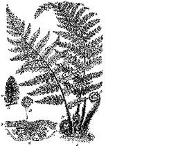
Most walking tracks and camp sites were distinguished by discarded shells. Inevitably the track along the Symonds Street - Karangahape ridge would have been demarcated by centuries of crushed shells - this white path between the bracken fern and flax bushes would have been easy to follow, especially by moonlight.
The Winding Ridge of Human Activity
Another interpretation of the name Karangahape is 'the winding ridge of human activity' which obviously pertains to the fact the ridge track was a major walking route for over six hundred years.
None of the various explanations of the name actually contradict each other - the area was occupied by successive Māori tribes who apparently used roughly the same name to demarcate the ridge. As the ridge stood outside the initial area organised by the early European planners of Auckland, the name survived into the 20th century.
During the 19th century most people simply referred to it as "the Road" thus avoiding any perceived problems with pronunciation. In the 20th century there were two movements to change the name to something shorter and more easily pronounced. None of these official campaigns were successful although Karangahape Road eventually became colloquially and popularly known as "K' Road".
These days the full name Karangahape is being reinstated as people learn about the history and honour the heritage of Māori in the area.
Pāua Bus Shelters on Karangahape Road Overpass.
Historical Landmarks of Karangahape Road...
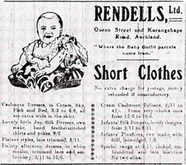
Rendell's Department Store
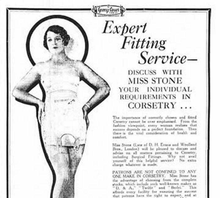
George Court's Dept. Store
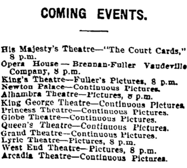
Cinemas
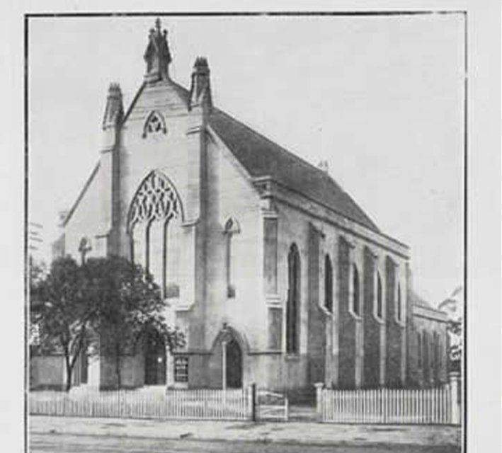
Pitt St. Church
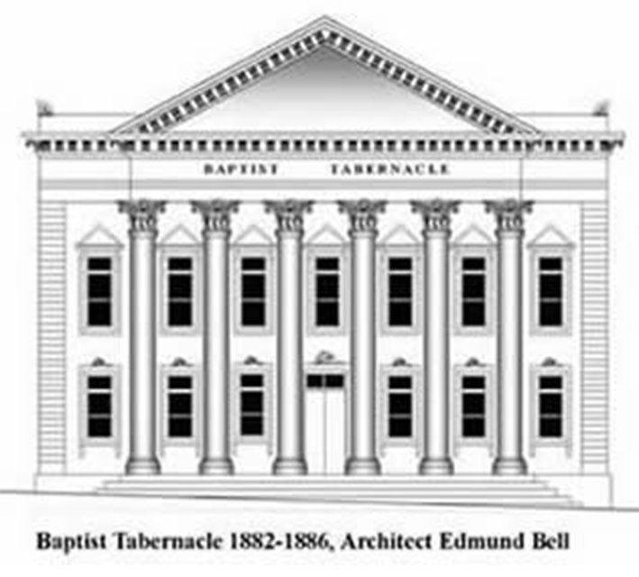
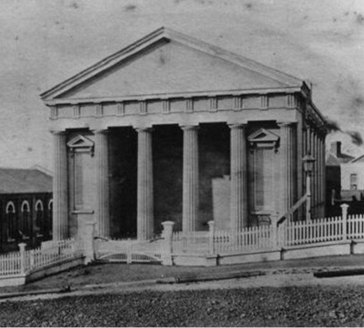
Baptist Tabernacle
Hopetoun Alpha
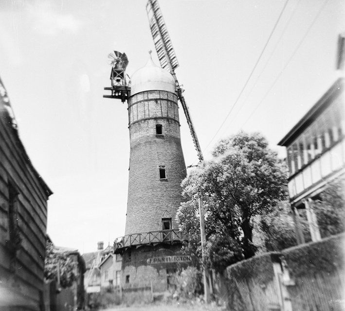
Partingtons Mill
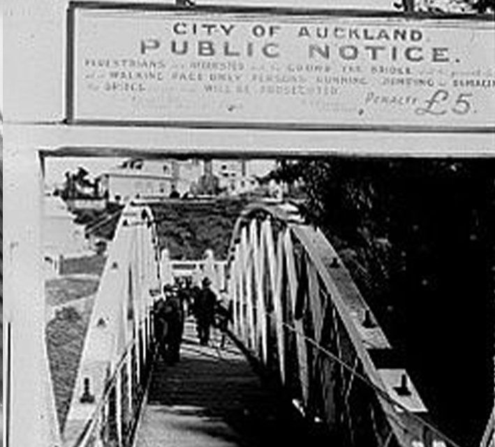
Grafton Bridge